


COMMITTEE CONSIDERS CZM AND ZONING REQUESTS, UPDATED ON STREET ADDRESSING PROGRAM
Published: Feb 5, 2024
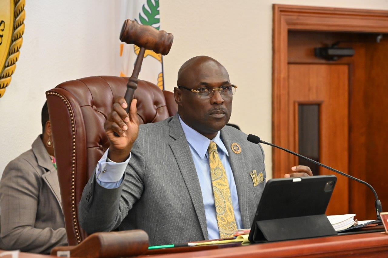
ST. THOMAS – The 35th Legislature of the Virgin Islands’ Committee of the Whole, led by Senate President Novelle E. Francis, Jr. met in the Earle B. Ottley Legislative Chambers. Lawmakers considered a minor CZM permit and zoning requests. Additionally, an update was received about the Street Addressing Initiative Program. Senators cannot vote on measures in the Committee of the Whole; however, action will be taken at the next Legislative Session.
Lawmakers considered the following measures:
Bill No. 35-0212, an act ratifying Minor Coastal Zone Permit No. CZT-18-21 (W) issued to Beach Life, LLC. The measure was proposed by Senator Novelle E. Francis, Jr., by request of the Governor.
Marlon Hibbert, Director of the Division of Coastal Zone Management at the Department of Planning and Natural Resources, delivered a brief testimony. The permit would allow for the use and occupancy of submerged lands seaward of Tract No. C-1 Estate Water Island, St. Thomas, and for the installation of a floating dock anchored by a wooden walkway on the beach. The permit would expire 20 years after the effective date. A rental fee of $1,165 would be charged per year in advance.
Bill No, 35-0233, an act granting a use variance to Parcels No. 41 Remainder Estate Contant and 41- C Estate Contant, 7A Southside Quarter, St. Thomas, Virgin Islands to allow for commercial parking.
Keshoy Samuel, Planning Technician at DPNR delivered the report. The applicant, Discount Car Rental requested to amend Official Zoning Map No. STZ-4, Application No. ZAT-24-1, for Parcel Nos. 41 Remainder and 41C Estate Contant No. 7A Southside Quarter, St. Thomas, from R3 (Residential-Medium Density) to C (Commercial) zoning to bring the property into zoning compliance with its current use as a parking lot for vehicles and storage containers. At DPNR-CCZP’s public hearing, Roosevelt David, representative stated that the site had been used for Discount Car Rental’s overflow parking for approximately ten years. The applicant had recently been advised of zoning noncompliance. At the public hearing held November 21, 2023, no one else spoke in support of the petition. Two letters of support were received from adjacent property owners. However, one adjacent property owner expressed concerns such as increased traffic, no sidewalks, possible negative effects to property values, and increase of criminal activity. The area has had only one rezoning in 1977, indicating no major shift in the area’s character and zoning. The Department recommended that a use variance be granted.
Bill No. 35-0234, An Act granting a zoning variance from the I-2 (Light Industry) zoning designation to Revised Parcel No. 17-3 Remainder Estate Nisky, No. 6 Southside Quarter, St. Thomas, Virgin Islands, to allow for a business hotel.
Leia LaPlace-Matthew, Territorial Planner, delivered the rezoning report. Demah Inc, d/b/a Moe’s Fresh Market, requested to amend Official Zoning Map No. STZ-4, Application No. ZAT-24-2, for Revised Parcel No. 17-3 Remainder Estate Nisky, No. 6 Southside Quarter, St. Thomas, with a use variance to the I-2 (Light Industry) zoning to allow for a business hotel. The proposed property is currently not in use. There is a 14,491-square-foot steel frame structure on the property. The Virgin Islands State Historic Preservation Office (VISHPO) stated that design modifications would have to be made to align with design requirements for the historic World War II Naval warehouse building. The proposed redevelopment of the warehouse is estimated to take 24-36 months and would generate 50 jobs during construction, 60 permanent jobs for day-to-day food market operations, and 8-12 permanent jobs for hotel operations. The hotel would have 26 rooms per floor for 52 rooms. The hotel would not have amenities such as a pool, spa, or restaurant. There would be a retail food market on the first floor. The proposed property has not been in use for over 20 years. The redevelopment of the property would require review from VISPHO before building permits are issued. At the DPNR-CCP public hearing held on December 1, 2023, there was no opposition expressed with the proposal. The current I-2 zoning was adopted because of the area’s historical use as a submarine base. The area’s character has shifted since this time, and has had a mix of business, commercial, and industrial uses. There have been twelve zoning map amendments since this time for B2, C, Commercial, I-1 (Heavy Industry), 1-2, and W-2 Zoning. The Department of Planning and Natural Resources recommended granting a use variance.
Bill No. 35-0235, an act amending Official Zoning Map No. STZ-7 to rezone Reconfigured Remainder Consolidated Parcel No. 1-13 Estate Donoe, No. 2A New Quarter, St. Thomas, Virgin Islands, from R-4 (Residential-Medium Density) to B-3 (Business-Scattered).
Keshoy Samuel, Planning Technician, delivered the rezoning report. AR Legacy LLC requested to amend Official Zoning Map No. STZ-7, Application No. ZAT-24-3 for Reconfigured Remainder Consolidated Parcel No. 1-13 Estate Donoe, No. 2A New Quarter St. Thomas from R-4 (Residential Medium Density) to B-3 (Business Scattered) zoning to allow for a mixed-used community. At a DPNR-CCZP public hearing, Roger Minkoff, representative, stated that the proposed mixed-use community would consist of commercial buildings, to be used for office and mixed-use. The development would be phased over in as many as five phases. The commercial buildings would be developed in phase one, which would take about a year and a half, and subsequent phases, which would be the residential buildings, depending on the market. There could be up to 39 dwelling units and amenities such as a community center and a swimming pool. There was no opposition or concerns with the proposal at the DPNR-CCZP public hearing held on December 18, 2023. There have been six zoning map amendments in the area. The characteristics of the area have allowed for mixed-use, with use variances ranging from R-3, R-4, B-2, C-Commercial, and I-1. The Department stated that the request would continue the mixed-use character. The Department recommended that the rezoning be granted.
Additionally, the committee received a comprehensive update on the Street Addressing Initiative program.
Christoper George, Administrator of the Geospatial Information Systems Division and Project Manager of the Office of the Lieutenant Governor’s Street Addressing Initiative, delivered testimony. The first Phase of the initiative was undertaken in 2012, with a partnership with the University of the Virgin Islands. In 2013, the Strategic Implementation Plan for Addressing was tested in real-time in the historic districts of St. Thomas and St. Croix, as well as the Mon Bijou community in St. Croix. In George’s testimony, street addressing of the lack thereof, can affect the quality of services in many aspects of our lives, from emergency services to food delivery, utilities, and postal mail. The Street Addressing Initiative is the largest infrastructure project to be set upon since USVI road systems were built. Through the Federal Geographic Data Committee, the US Government created the United States Thoroughfare, Landmark, and Postal Address Data Standard. This standardized all US Street addresses for Landmark, Postal, and Emergency Use. This is also the prerequisite for any state, city, or municipality to be included in the Department of Transportation’s USDOT National Address Database.
The Master Address Repository (MARS) is a database with mapping components and is where the structure of the addressing system is maintained. This system links a street address to a structure, parcel of land, landmark, via a global position. Once the system has completed compiling data, it will be housed on the territorial GIS platform, which will then be able to be accessed digitally by federal and private partners. This information will then be used by the US Postal Services, the US Census, and IRS to name a few. Total cost for the USVI MARS is $145,529.19. The Office of the Lieutenant Governor sought funding to have a sign for every named street throughout this project. This includes neighborhood signs, sensitive district signs, and highway signs. This allotted funding was $2.3 million. George stated that a standardized street addressing system has been a long time in the making for the territory, way before the initiative had been started. The total cost for the SAI project management expenses for the final phase is estimated to be about $389,319.34. It is expected that barring any issues, most of the street addressing will be completed, and name signs will be installed in 2024. George stated that about 60% of names had been completed in the territory. Also, George said the project's success was dependent on SAI Stakeholders and the local community. The total cost for the entire project is estimated to be $5.3 Million. St. John will be the first island to be fully addressed.
Senators present at today’s Committee hearing included: Novelle E. Francis, Jr., Marvin A. Blyden, Diane T. Capehart, Dwayne M. Degraff, Ray Fonseca, Alma Francis Heyliger, Donna A. Frett-Gregory, Kenneth L. Gittens, Javan E. James, Sr., Franklin D. Johnson, Carla J. Joseph, and Milton E. Potter.
The Division of Public Affairs is committed to providing the community with accurate information on legislative proceedings and other events at the Legislature of the Virgin Islands. Visit legvi.org.
####
Related Content
COMMITTEE RECEIVES UPDATES ON OPERATIONS OF THE BUREAU OF CORRECTIONS, POLICE DEPARTMENT, CONSIDERS MEASURES TO BAN INCARCERATED PERSONS FROM USING ELECTRONIC COMMUNICATION OR RECORDING DEVICES, ESTABLISH PROCEDURES FOR INMATE TRANSFERS OUTSIDE THE VIRGIN ISLANDS, UPDATE CHILD PASSENGER SAFETY REQUIREMENTS APPLICABLE TO RENTAL VEHICLES
July 16, 2026
ST. CROIX, VI – The 36th Legislature of the Virgin Islands’ Committee on Homeland Security, Justice, and Public Safety, led by Senator Clifford A. Joseph, Sr, met in the Frits E. Lawaetz Legislative Conference Room. Lawmakers received updates on the...

THE UNIVERSITY OF THE VIRGIN ISLANDS RESEARCH AND TECHNOLOGY PARK AND THE V.I. DEPARTMENT OF PROPERTY AND PROCUREMENT SHARES FY 2027 BUDGET
July 13, 2026
ST. THOMAS, VI - The Committee on Budget, Appropriations, and Finance, chaired by Senator Novelle E. Francis, Jr. held a meeting at the Capitol Building. Officials from the University of the Virgin Islands Research and Technology Park (RTPark) and the Virgin...
COMMITTEE HEARS FY 2027 BUDGET REQUESTS FOR JUDICIAL BRANCH, DEPARTMENT OF JUSTICE, PUBLIC WORKS, AND PUBLIC SERVICES COMMISSION
July 9, 2026
ST. THOMAS, VI - The Committee on Budget, Appropriations, and Finance, chaired by Senator Novelle E. Francis, Jr. met in the Earle B. Ottley Legislative Hall. Lawmakers received testimonies regarding the proposed FY 2027 budgets for the Judicial Branch of the Virgin Islands, the Virgin Islands Department of Justice, the Department...